
The event was held in execution of the High Instructions of His Majesty King Mohammed VI, Supreme Commander and Chief of General Staff of the Royal Armed Forces. It brought together representatives of the member, associate and observer states of the Eastern Atlantic Hydrographic Commission (EAtHC/CHAtO), the Director of the International Hydrographic Organization (IHO) John Nyberg, as well as experts from SHOM, UKHO and other technical stakeholders.
The S-100 Standard
The S-100 standard is the IHO’s universal hydrographic data model. It succeeds the S-57 standard, in force since 1992 for electronic navigational charts (ENC). Where S-57 essentially offered a static chart, S-100 makes it possible to integrate several interoperable data layers. These include next-generation electronic charts (S-101), high-resolution bathymetric surfaces (S-102), water level information (S-104), surface currents (S-111), navigational warnings (S-124) and the nautical products catalogue (S-128).
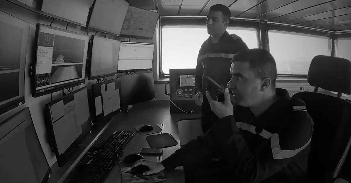
These products can be combined within a single system and updated more dynamically. For mariners, this means better situational awareness, particularly in port approaches, strong-current channels and shallow waters. For authorities, it opens up possibilities for traffic management, dredging and the prevention of risks linked to water level variations.
The Phase 1 specifications came into force in January 2026. S-100-compatible ECDIS systems can be installed since January 1, 2026. From January 1, 2029, any new ECDIS installation or replacement will have to comply with the International Maritime Organization’s performance standards (resolution MSC.530(106)). Existing S-57-compliant systems are not subject to an immediate replacement requirement. A coexistence period (dual-fuel) is planned.
A Timeline and Regional Priorities
- Phase 1 specifications operational since January 2026 (notably S-101, S-102, S-104, S-111, S-124, S-128, S-129).
- S-100 ECDIS installation authorized since January 1, 2026.
- Mandatory for new ECDIS installations from January 1, 2029.
- IHO infrastructure center in Busan, scheduled to open in November 2026.
- Morocco chaired the EAtHC until the Abidjan conference in July 2026, before handing over to Spain.
The seminar focused precisely on the mechanisms of this transition. Participants examined the full chain, from survey to product production, validation requirements, data protection and distribution, as well as human and institutional capacity building. John Nyberg encouraged each hydrographic service to leave with a clear production plan, choosing a realistic starting point rather than waiting for exhaustive coverage.
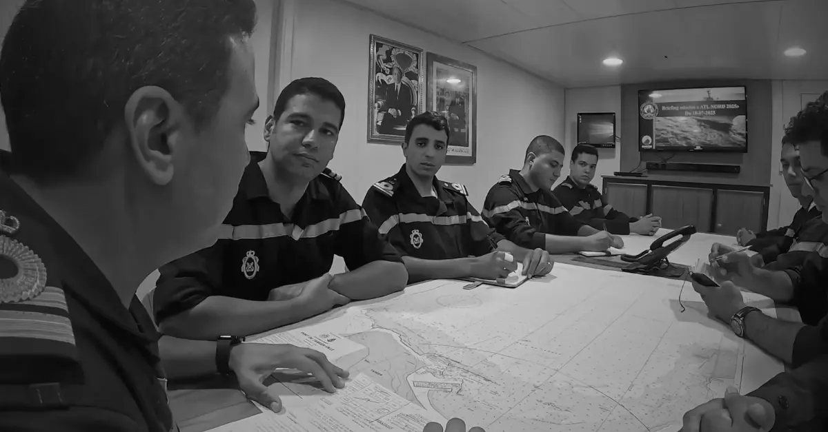
Morocco presented its overall approach, involving in particular the DHOC for data conversion, and other directorates for data related to aids to navigation and the marine environment. National presentations were also given by Nigeria, France and Spain. Congolese speakers highlighted the value of these standards for managing inland and maritime waters, in a country located at the heart of the Congo Basin with an Atlantic coastline.
Strategic Stakes in the African Atlantic Space
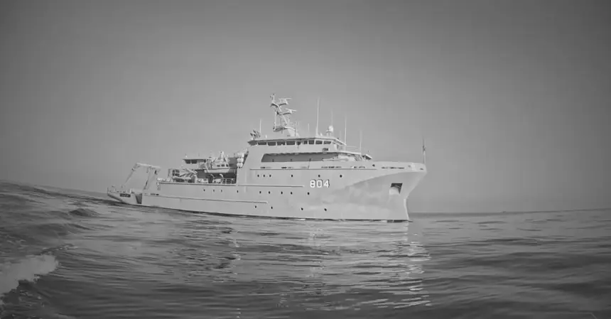
This seminar is part of a broader dynamic. Morocco has steadily strengthened its hydrographic capabilities. In April 2025, an agreement with France transferred to the Royal Navy the responsibility for producing and distributing nautical charts of waters under Moroccan jurisdiction, after several years of support from SHOM. The hydro-oceanographic vessel Dar al Beida, delivered in 2018, is one of the material tools underpinning this autonomy.
Regionally, the Kingdom chaired the EAtHC for two years and hosted several meetings in Casablanca, including the 18th conference in May 2024 and a cooperation seminar in October 2025. At the opening, Abdeltif Loudiyi, Minister Delegate in charge of the Administration of National Defense, recalled that this commitment is in line with the royal vision of making the African Atlantic space a zone of peace, stability and shared prosperity.
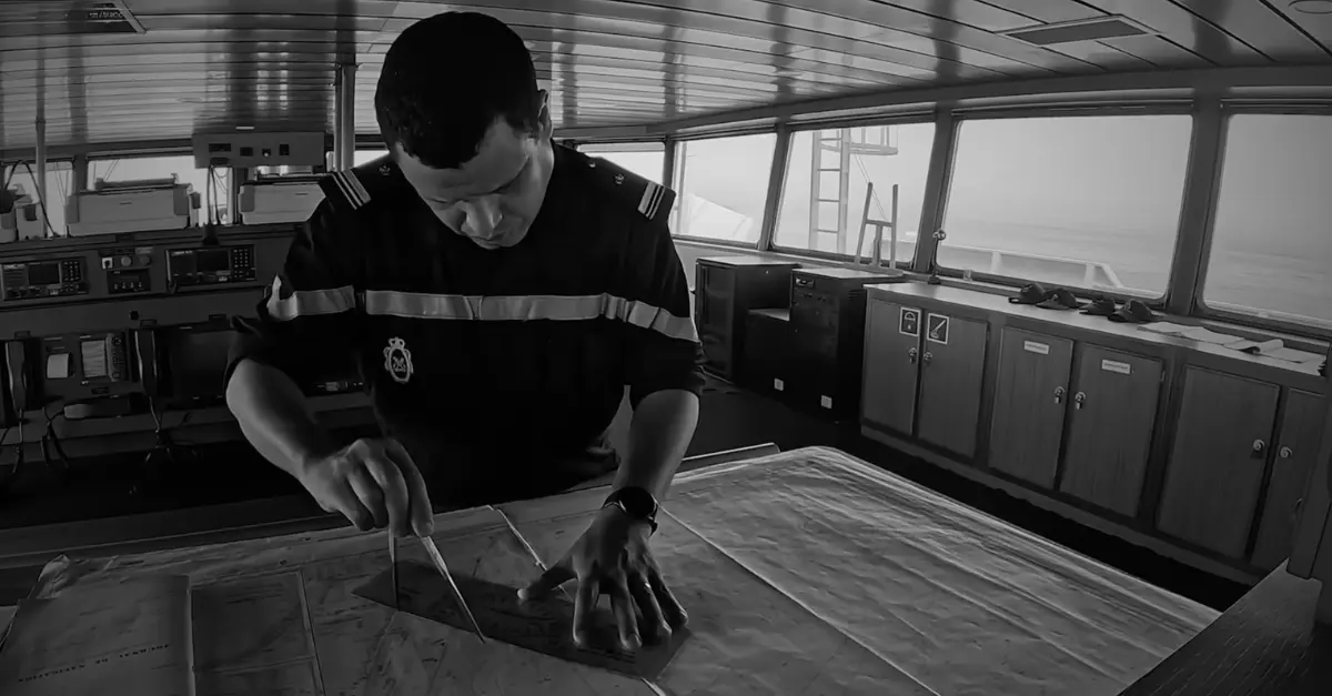
For the countries of the West African coast, capability gaps remain significant. Some services already have advanced production means. Others still need to structure their organization, train staff and acquire equipment. Regional cooperation, IHO support, training portals such as PRIMAR’s, and exchanges with European or Nordic partners are concrete levers. Navigation safety is not limited to national interests. It underpins trade, energy supply security, fisheries management and resilience to climate and flood risks.
In a context where maritime traffic volumes remain high on Atlantic routes and port infrastructure projects are multiplying, the quality of hydrographic data directly influences operating costs, grounding risks and states’ response capabilities.
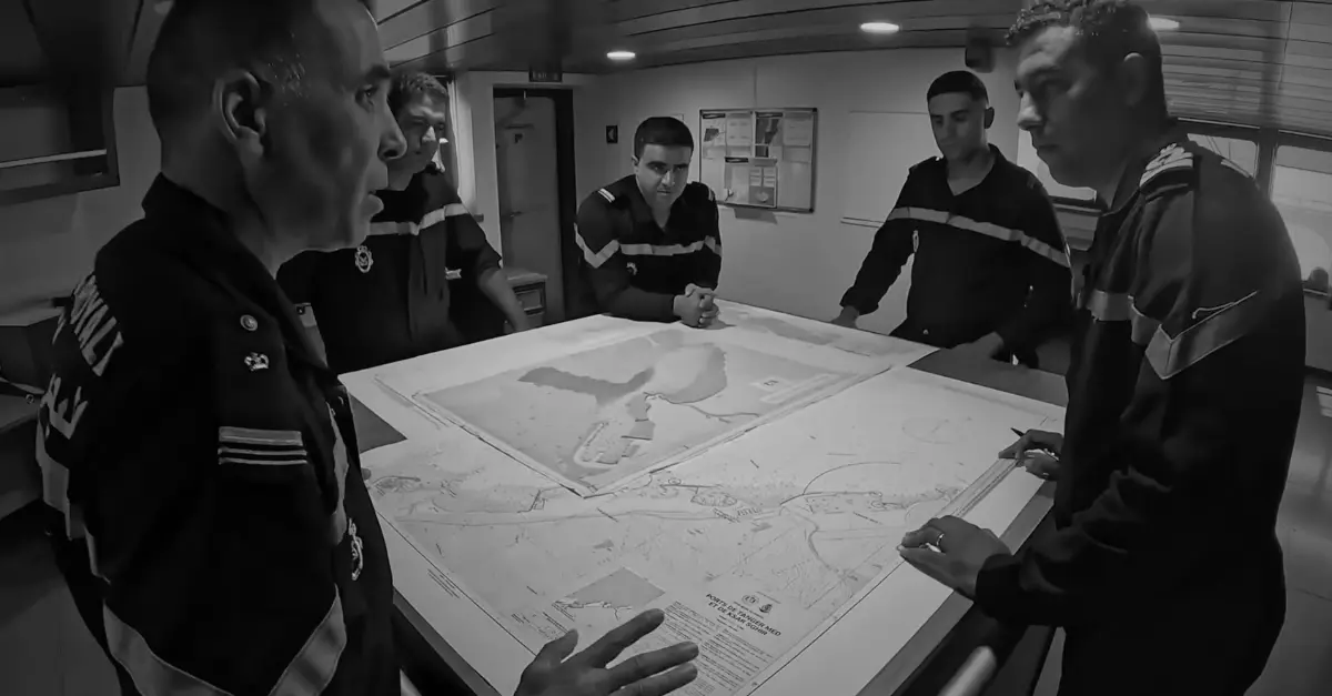
Going Further…
Above all, the Casablanca seminar helped align technical understanding, identify production priorities and strengthen ties between hydrographic services in the region. The success of the transition to S-100 will depend less on the existence of the standards than on states’ ability to implement them in a gradual and coordinated way.
S-100 systems will bring measurable gains in accuracy and interoperability. They will not, on their own, resolve the challenges of hydrographic coverage in poorly surveyed areas, nor questions of funding or data governance. Coexistence with S-57 will continue for several years. In fact, the first type-approved S-100 ECDIS systems are not yet widely available on the market.
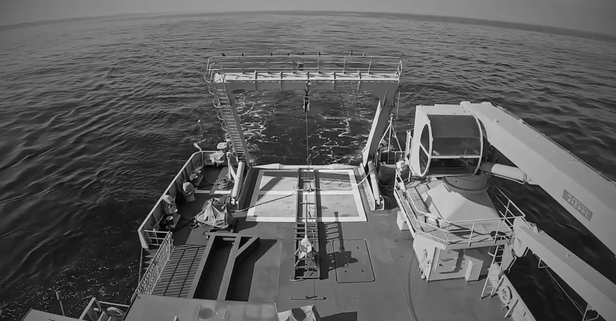
The role of countries like Morocco, which now have autonomous capabilities and invest in regional training, will be decisive in supporting states with more limited means. The question is no longer whether the S-100 standard will take hold. It is already operational. The question is at what pace, and with what degree of fairness, this transition will unfold along the Atlantic seaboard.
FAQ
What exactly is the S-100 standard?
It is the IHO’s universal hydrographic data model. It makes it possible to produce and exchange interoperable digital data (charts, bathymetry, currents, water levels, etc.) that go beyond the simple static electronic chart of the S-57 standard.
When does the S-100 standard become mandatory?
S-100 ECDIS systems have been permitted since January 1, 2026. From January 1, 2029, any new ECDIS installation will have to be compatible. Systems already in service are not subject to mandatory replacement on that date.
What is the link between this seminar and maritime safety?
More accurate and up-to-date data reduce navigation risks, improve the management of port approaches and allow better account to be taken of dynamic conditions (currents, water levels). It is a direct contributor to the safety and efficiency of operations.
Why is Morocco hosting this event?
The Kingdom has developed autonomous hydrographic capabilities, chaired the Eastern Atlantic Hydrographic Commission, and positions African Atlantic cooperation as a pillar of its maritime policy, in line with royal guidelines.